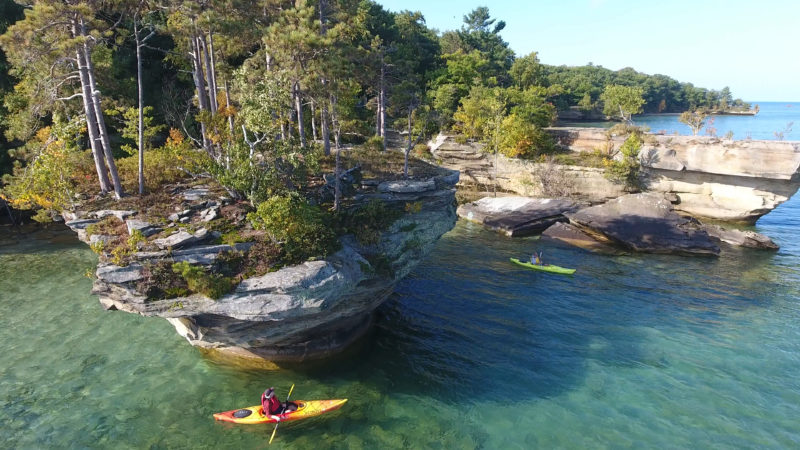
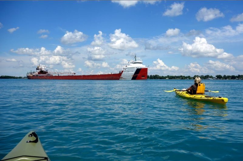
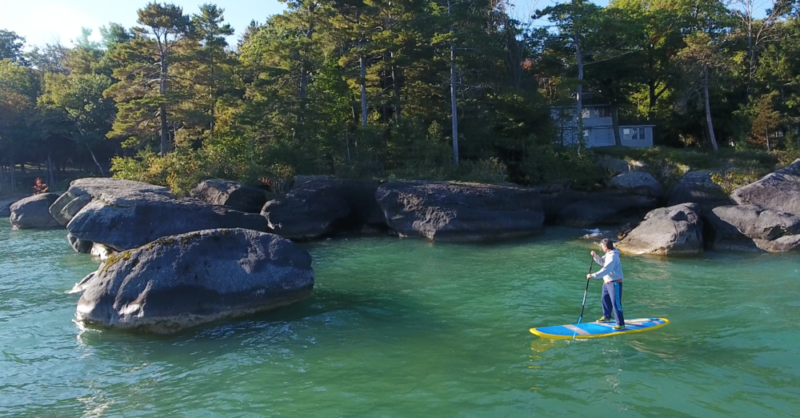
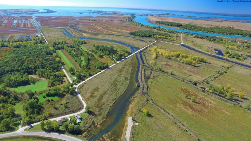
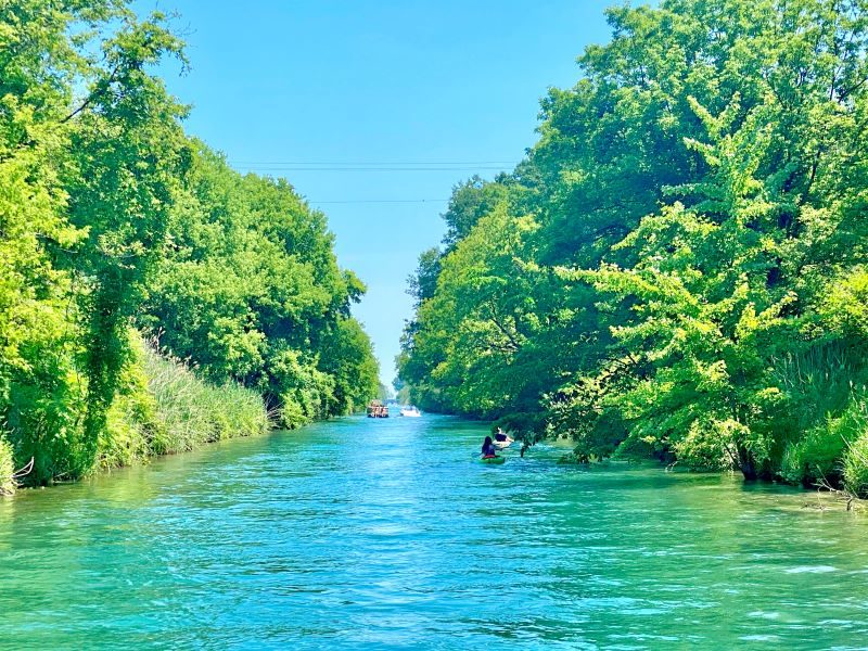
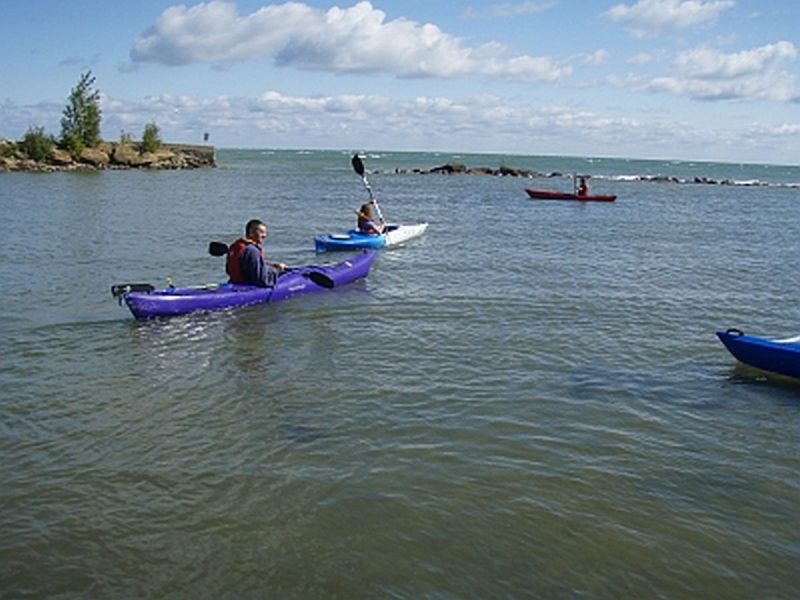
Kayak, canoe, or paddle board the water trails of Michigan’s Thumbcoast! Paddle out to see our area’s unique geological features, or take a trip on Michigan’s first National Water Trail! Routes are available for both beginner and experienced paddlers.
Featured Image | Justin Schnettler
Clay Township, MI 48028 US
Region: Clay / Algonac
Website
Algonac, MI 48001 US
Region: Clay / Algonac
Website
M29 and Willow Ct.
Clay Township, MI 48001 US
Phone: (810) 748-9504
Region: Clay / Algonac
Website
Port Huron, MI 48060 US
Region: Port Huron
Website
Port Austin, MI 48467 US
Phone: (989) 738-7600
E-Mail Address: info@thumbtrails.com
Region: Port Austin
Website
Strawberry Lane
Port Huron, MI 48060 US
Region: Port Huron
Website
Quay Street
Port Huron, MI 48060 US
Region: Port Huron
Website
Cedar St.
St. Clair, MI 48079 US
Region: St. Clair
Website
1775 Port Austin Road
Port Austin, MI 48467 US
Region: Port Austin
Website
4552 King Road
China Township, MI 48054 US
Region: St. Clair
Website
Port Austin, MI US
Region: Port Austin
Website
Port Austin, MI US
Region: Port Austin
Website
MI US

Belle River Route
Black River Urban Paddle Port Huron
Blueways of St. Clair Water Trails
Broken Rocks Water Trail

Great Lakes Way Trail
Krispin Blueway Water Trail Harsens Island
Pine River Paddle St. Clair
Pinnebog River Huron County
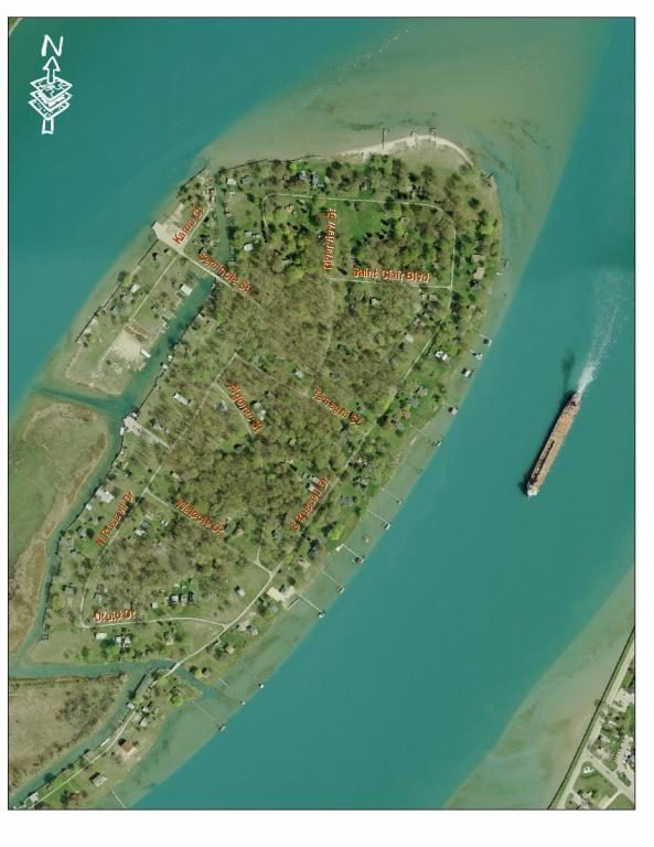
Russell Island Loop
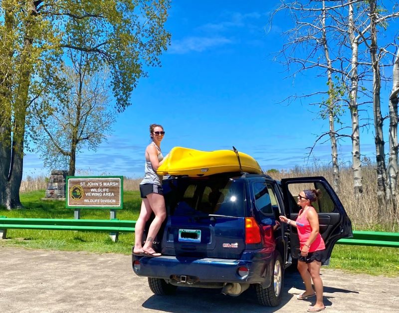
St. John's Marsh Wildlife Viewing Area Trail
The Island Loop Route, National Water Trail
Tip of the Thumb Heritage Water Trail